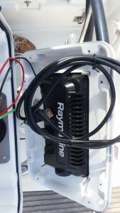
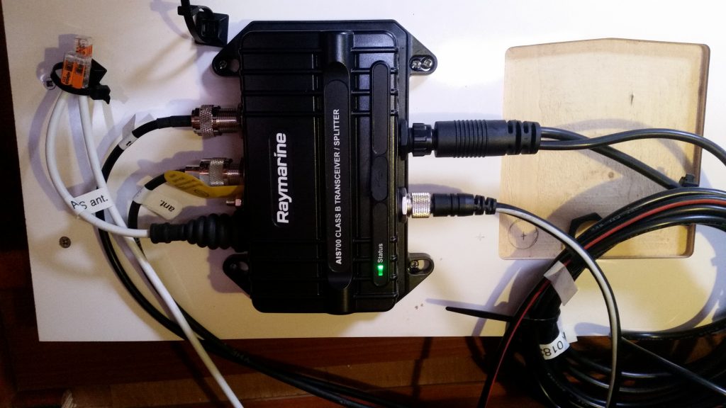
Installing the AIS and its new SeaTalkng network was not a quick job. The AIS has connections for the VHF aerial, a splitter output back to the ship’s VHS, a dedicated GPS aerial and the SeaTalkng network. In addition, both the AIS and the SeaTalkng network have a power cable connection.
See also – E15- AIS and New Network
GPS Aerial
We attached the AIS GPS aerial on the starboard stern rail, alongside the existing old chart plotter’s aerial (which we may remove in a future upgrade).
Network to Helm Chartplotter
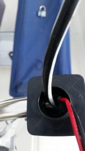
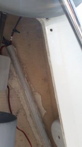
We managed to thread a network spur cable from the chart plotter pod through the rail, down the helm pedestal, and into the aft cabin ceiling. From there it joined the new SeaTalkng network backbone cable which is threaded around the stern space on Molia and down the cable pipe on the starboard side to the instrument panels at the navigation station in the cabin.
AIS VHF Aerial
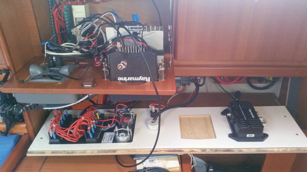
We were able to take the existing VHF aerial cable directly to the AIS as there was enough slack. We then made a new hole in the floor of the instrument locker so that the splitter cable could reach the VHF.
Switch on – and Molia shows on the AIS app! https://www.vesselfinder.com
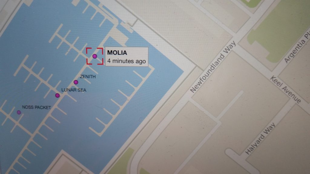
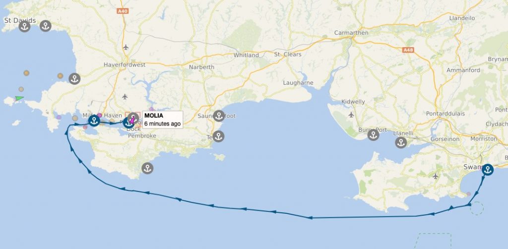
And now Tim can track us wherever we go (well almost). Thanks to Tim for the screengrab from our trip to Milford Haven (Day 3 20/05/2022).


